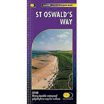
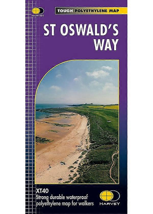
St Oswald's Way Xt40 Harvey Map
- 브랜드: Climb Europe
재고 있음
다음의 결제 방식을 사용하실 수 있습니다
설명
- 브랜드: Climb Europe
- 카테고리: Sports & Hobbies
- Fruugo ID: 383190844-824997505
- ISBN: 9781851376698
배송 및 반품
2일 이내에 발송됨
-
STANDARD: ₩22,849 - 배달 사이 화 14 10월 2025–목 16 10월 2025
영국에서 발송.
당사는 귀하께서 주문하신 제품이 주문 명세에 따라 빠짐없이 배송되도록 온 힘을 기울이고 있습니다. 다만, 주문하신 것과 다른 상품이 배송되거나 빠진 상품이 있는 경우, 또는 주문 내용에 만족할 수 없는 다른 이유가 있는 경우에는 주문 전체나 주문에 포함된 일부 제품을 반품하시고 해당 상품에 대해 전액 환불받으실 수 있습니다. 전체 반품 정책 보기