설명
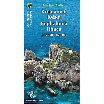
This is a detailed map showing the hiking paths and trails on the Greek Islands of Kefalonia (Cephalonia) and Ithaca. Kefalonia is shown on 1 side at a scale of 1:65,000, whilst Ithaca is shown on the other side at a scale of 1:25,000.
Kefalonia has a rugged landscape with big mountains and lakes, with large tracts of unspoiled areas across the island. The highest mountain is Mount Ainos (Enos) at 1,628m high, and Melissani Lake is one of the most impressive lakes. In Kefalonia the footpaths are regularly maintained and new ones are also being opened, making this Greek island an ideal destination for walking and hiking enthusiasts.
The neighbouring island of Ithaca is also a mountainous island thathas a great network of hiking trails. The highest mountain is called Homeric Mount Neritos, rising, on the northern part of the island at an altitude of 800m. The views on Ithaca are splendid, with the contrasting mountains and olive groves against tiny pebbly coves and sparkling waters below.
Published by Anavasi on waterproof and rip-proof polyart paper, and is map number 9.3. The text and legend of this map is in English and Greek throughout.
-
Fruugo ID:
383192042-824998787
-
ISBN:
9789609412131